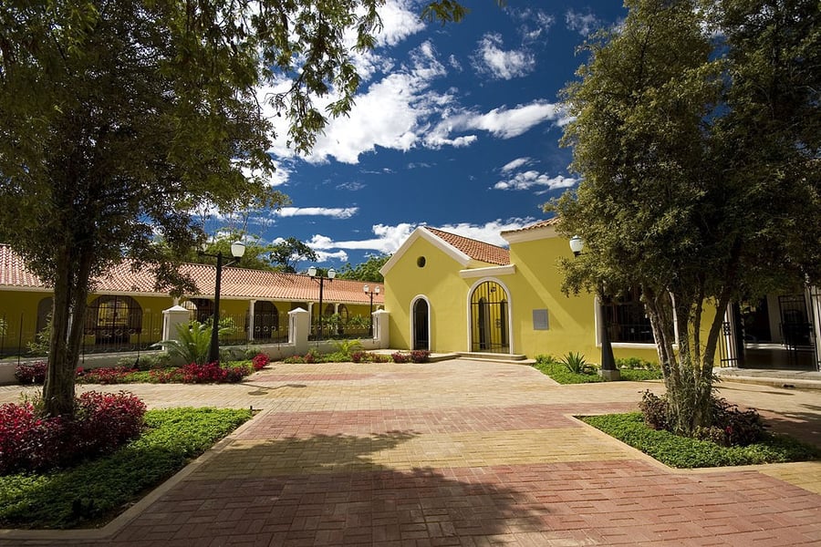
Coro and its Port
UNESCO Map

Description: With its earthen constructions unique to the Caribbean, Coro is the only surviving example of a rich fusion of local traditions with Spanish Mudéjar and Dutch architectural techniques. One of the first colonial towns (founded in 1527), it has some 602 historic buildings.
Date inscribed: 1993.0
Area in hectares: 18,4
Category specified: Cultural
State: Venezuela
Region: Latin America and the Caribbean
Comments
UNESCO Map was created by Free Custom Map Builder that powers thousands of custom online maps.
Want to build own custom map for your business or community? Try Mapotic's custom map maker and create customizable or branded maps in minutes. Leverage filters, custom categories, crowdsourcing and SEO. Create a free custom map.