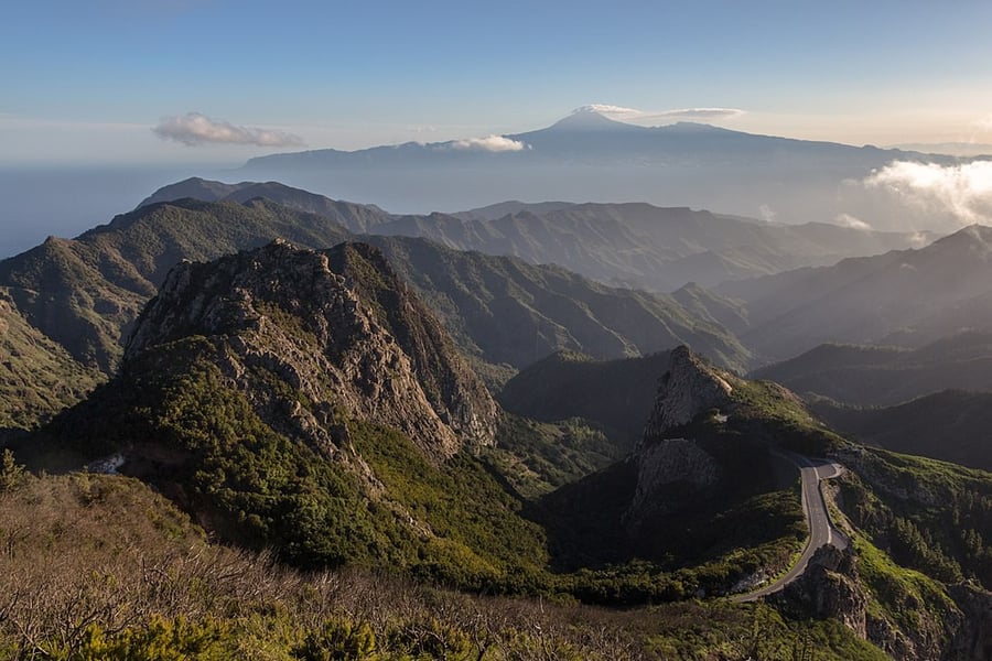
Garajonay National Park
UNESCO Map

Description: Laurel forest covers some 70% of this park, situated in the middle of the island of La Gomera in the Canary Islands archipelago. The presence of springs and numerous streams assures a lush vegetation resembling that of the Tertiary, which, due to climatic changes, has largely disappeared from southern Europe.
Date inscribed: 1986.0
Area in hectares: 3984
Category specified: Natural
State: Spain
Region: Europe and North America