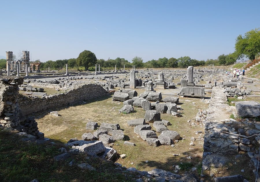
Archaeological Site of Philippi
UNESCO Map

Description: The remains of this walled city lie at the foot of an acropolis in north-eastern Greece, on the ancient route linking Europe and Asia, the Via Egnatia. Founded in 356 BC by the Macedonian King Philip II, the city developed as a “small Rome” with the establishment of the Roman Empire in the decades following the Battle of Philippi, in 42 BCE. The vibrant Hellenistic city of Philip II, of which the walls and their gates, the theatre and the funerary heroon (temple) are to be seen, was supplemented with Roman public buildings such as the Forum and a monumental terrace with temples to its north. Later the city became a centre of the Christian faith following the visit of the Apostle Paul in 49-50 CE. The remains of its basilicas constitute an exceptional testimony to the early establishment of Christianity.
Date inscribed: 2016.0
Area in hectares: 87,545
Category specified: Cultural
State: Greece
Region: Europe and North America