Mostecká pánev
smažak mapa
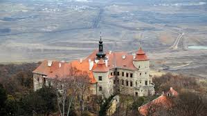
Description: plocha 1105 km2 délka zhruba 80 km nejvýznamnější oblast těžby hnědého uhlí v ČR Tento celek je odvodňován Labem a jejími přítoky (Bílina, Ohře)
Address: Sever Čech - okolí města Most
Website: https://mapy.cz/zakladni?source=area&id=26386&x=13.6417419&y=50.4726919&z=9
Comments
smažak mapa was created by Free Custom Map Builder that powers thousands of custom online maps.
Want to build own custom map for your business or community? Try Mapotic's custom map maker and create customizable or branded maps in minutes. Leverage filters, custom categories, crowdsourcing and SEO. Create a free custom map.